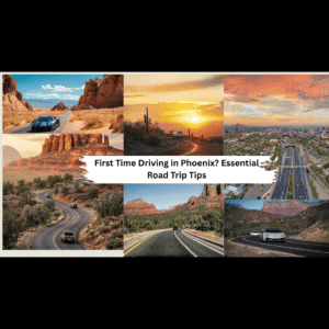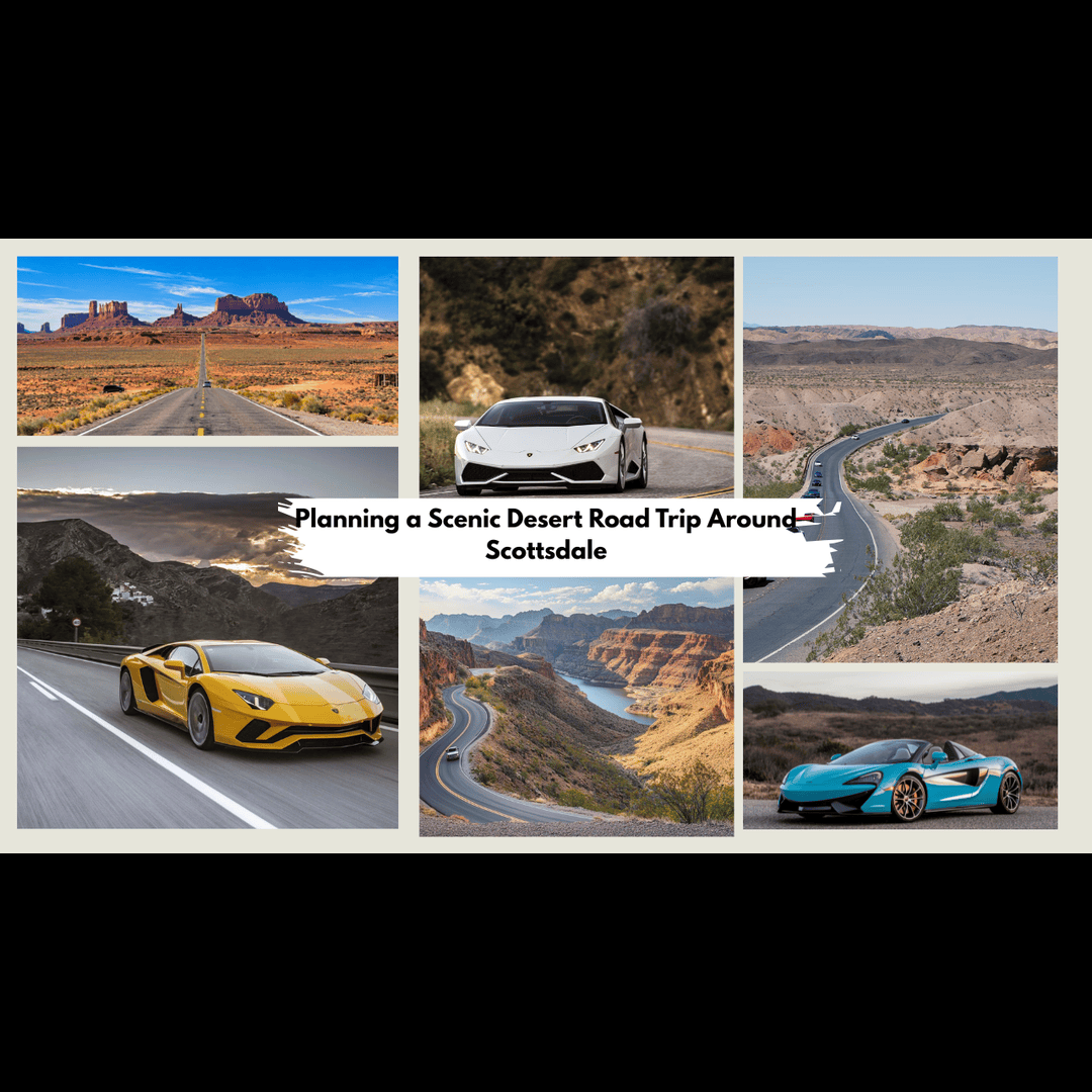
Scottsdale is one of the few places where a single road trip can start among giant saguaros, pass a blue lake framed by canyon walls and finish beneath the cliffs of the Superstition Mountains, all before dinner. The desert around town changes fast, and so do the roads, from smooth paved byways to gravel that no low sports car should touch.
That’s why planning a scenic desert road trip around Scottsdale starts with the car. Pick the vehicle from your Scottsdale exotic car rental first, then choose the desert roads that suit it, give the trip the right hours and time it for the season and the light. Below you’ll find each step, from the right car and the best drives to easy stops and what to pack.
Here’s how to plan it, one decision at a time.
Choose the Luxury Car for the Perfect Desert Trip
Start with the car, because it decides who can come along, how much you can carry and which roads make sense. Most desert roads around Scottsdale are paved, so the choice comes down to passengers, comfort and rental terms. A convertible makes the most sense from November to March, and these luxury convertibles for Scottsdale cruising are worth comparing.
A retractable hardtop like the Ferrari 488 Spider lets you keep the roof up on the Loop 202 and drop it for Bush Highway. Low-slung sports cars are fine on these roads but need care at dips and steep driveways.
For car seats, coolers and four or more passengers, a full-size SUV such as the Cadillac Escalade ESV is the easier choice, and it handles gravel lots like Spur Cross better.
Select Desert Route That Suits Your Car
With the car picked, choose the road. Most scenic driving near Scottsdale comes down to three paved routes, and each has its own length, road surface and stops.
Desert Foothills Scenic Drive and Carefree: Giant Saguaros Close to Town (2 to 4 Hours)
This is the easiest scenic drive from central Scottsdale because you barely leave one road. North of Happy Valley Road, the roadside desert has been protected since 1963 as the Desert Foothills Scenic Drive, about six miles of Scottsdale Road running up to the Carefree Highway.
Hand-carved signs name the plants along the shoulder, and a pull-off exhibit area on the east side, about a quarter mile south of Jomax Road, lets you walk among saguaro, ocotillo and ironwood. Drive it northbound so the exhibit area sits on your right, and save the return for late afternoon, when the saguaros throw long shadows across the road.
Keep going north into Carefree for the desert gardens and sundial on Easy Street, then head west on Cave Creek Road into Cave Creek for lunch. Short, paved and full of places to pull over, it suits young kids, older passengers and anyone on their first afternoon in Arizona.
Fountain Hills and Saguaro Lake: A Lake Loop With Barely Any Walking (4 to 6 Hours)
Head east on Shea Boulevard into Fountain Hills, where the park around the town’s famous fountain makes the first photo stop. Shea ends at State Route 87. Go north to the Bush Highway exit, and Saguaro Lake is about four miles in, with saguaros running down to the water and Four Peaks on the skyline. Parking at the lake’s Tonto National Forest sites needs a Tonto Daily Pass, $8 when bought ahead or $12 from the fee machine on site.
From the lake, Bush Highway follows the Salt River past overlooks where the area’s wild horses sometimes graze, then Usery Pass Road climbs once more before the freeway home. Nearly everything is visible from the car, so couples and families who don’t want to hike enjoy it most. Expect boat trailers on weekends and tubing crowds in summer.
For more loops in this corner of the Valley, these scenic routes near Fountain Hills are worth a look.
Apache Trail to Canyon Lake and Tortilla Flat: Mountain Curves on Pavement (Full Day)
The Apache Trail starts in Apache Junction, roughly an hour from central Scottsdale by the Loop 202, and climbs into the Superstition Mountains. Lost Dutchman State Park comes first, at the foot of the range, with a visitor center, restrooms and the easy Native Plant Trail. The road then twists above Canyon Lake to Tortilla Flat, a tiny roadside settlement with a restaurant and shops.
Pavement ends shortly past Tortilla Flat. Gravel continues to the Fish Creek Hill Overlook, and the Arizona Department of Transportation limits the steep descent beyond it to high-clearance four-wheel-drive vehicles. In a sports car or standard rental, turn around at Tortilla Flat.
For a slower start, these stops around Apache Junction fit in before the climb.
Set the Hours Your Road Trip Needs
A half day fits the Desert Foothills route. Walk a short loop at Gateway Trailhead, drive north to Carefree for a late breakfast, and you’re back by early afternoon. Two stops is the limit, because a third usually means rushing the drive.
The Apache Trail and the Saguaro Lake loop each fill a full day once stops are counted. On the Apache Trail, plan Lost Dutchman for mid-morning, Canyon Lake and Tortilla Flat around lunch, and the drive back by mid-afternoon. Winter sunsets come around 5:30 p.m., and SR 88’s curves are far easier in daylight.
| Route | Main roads | Time to allow | Best for | Best car | Road surface |
| Desert Foothills Scenic Drive | Scottsdale Road north of Happy Valley Road, into Carefree and Cave Creek | 2 to 4 hours | First-time visitors, young kids, older passengers | Convertible, sports coupe or luxury SUV | Paved |
| Fountain Hills and Saguaro Lake | Shea Boulevard, State Route 87, Bush Highway, Usery Pass Road | 4 to 6 hours | Couples, families, lake views with little walking | Convertible, or a luxury SUV with room for a cooler | Paved |
| Apache Trail to Tortilla Flat | State Route 88 from Apache Junction | Full day | Mountain scenery, teens, photographers | Convertible or sports car driven gently, or a luxury SUV | Paved to just past Tortilla Flat, then gravel and 4WD only |
Have a few days? Give each route its own day instead of chaining two together, since linking them adds more freeway time than scenery:
- Day 1: Desert Foothills Scenic Drive, Gateway Trailhead and lunch in Cave Creek.
- Day 2: Apache Trail to Tortilla Flat, back before dark.
- Day 3: Saguaro Lake loop, or one of the quieter loops below.
Going on to Roosevelt Lake means a four-wheel-drive vehicle or a long detour on State Routes 87 and 188, which suits an overnight trip better than a day loop.
Add a Quieter Desert Loop for a Second Day
Once the three main routes are done, these two loops stay close to Scottsdale and keep you in the desert, with fewer crowds than the Apache Trail or Saguaro Lake.
Dynamite Boulevard to Fountain Hills: The Northern Back Way (Half Day)
Start where Scottsdale Road meets Dynamite Boulevard and head east through rolling, saguaro-dotted foothills. Dynamite becomes Rio Verde Drive, then a right on Forest Road and another onto McDowell Mountain Road carries you along the edge of McDowell Mountain Regional Park. The road turns into Fountain Hills Boulevard, so you reach the fountain from the north, then take Shea Boulevard west back to central Scottsdale.
Bartlett Dam Road to Bartlett Lake: A Quiet Tonto Forest Drive (Half to Full Day)
Follow Cave Creek Road out of Carefree to Bartlett Dam Road, a paved road that curves about 13 miles through the Tonto National Forest down to the lake. The same Tonto pass rules apply here, with a fee machine by the Cave Creek Ranger Station at the turnoff. Watch for cyclists and boat trailers on the bends.
Time the Trip for the Season and the Light
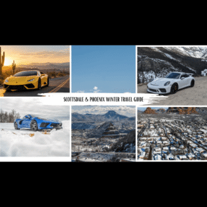
November through March is the comfortable window, with afternoons in the mid-60s to low 70s and mornings cold enough for a jacket. Spring wildflowers depend on winter rain, so March and April vary year to year. This winter travel guide for Scottsdale and Phoenix covers the season month by month.
Summer highs regularly pass 100°F, so drive early and skip exposed trails after mid-morning. The July through September monsoon adds flash floods and dust storms. In any season, mornings suit walks, while late afternoon light makes the Superstitions and Four Peaks glow.
Plan Around Everyone in the Car
Families with young kids do best on the Desert Foothills route, with short gaps between stops, restrooms at Gateway Trailhead and the Carefree splash pad. Couples get more from the Saguaro Lake loop or the foothills at sunset, with fewer, longer stops and the Bush Highway overlooks in late light.
Solo travelers should stick to busy paved roads, download offline maps and share a return time with someone. Teens tend to love the Apache Trail’s overlooks and Lost Dutchman’s trails, and groups of friends travel better in two cars with agreed meeting points than in one crowded one.
| Traveling as | Best route | What to plan for |
| Family with young kids | Desert Foothills | Short gaps between stops, the Carefree splash pad, restrooms and water at Gateway Trailhead |
| Couple | Saguaro Lake loop, or Desert Foothills at sunset | Fewer, longer stops and the Bush Highway overlooks in late light |
| Solo traveler | Desert Foothills or Saguaro Lake | Busy paved roads, offline maps and a return time shared with someone |
| Family with teens | Apache Trail | Lost Dutchman trails, Canyon Lake and overlook photos |
| Group of friends | Saguaro Lake loop | Two cars instead of one crowded one, plus agreed meeting points |
Plan Two or Three Easy Stops Along the Way
McDowell Sonoran Preserve: Gateway Trailhead
Gateway Trailhead, at 18333 N. Thompson Peak Parkway, is free and has restrooms, drinking water and shade ramadas. The Bajada Nature Trail is an accessible half-mile loop that works with strollers. The 4.5-mile Gateway Loop is rocky and moderate, so save it for a cool morning.
Carefree Desert Gardens: Easy Desert Sightseeing
These free gardens on Easy Street open every day and fit desert plants from around the world into about four acres. The Carefree Sundial, built in 1959, ranks among the largest in the country, and a playground and splash pad keep kids busy.
Spur Cross Ranch Conservation Area: A Wilder Desert Stop
About 4.5 miles up Spur Cross Road from downtown Cave Creek, this Maricopa County area charges $3 per person, cash or annual pass. Trails pass big saguaros and cross Cave Creek itself, so feet can get wet after rain. There’s a gravel lot and portable toilets but no drinking water. Allow two extra hours.
Check Conditions, Pack Right and Stay Safe in the Desert
Check az511.gov the morning you go. Monsoon storms closed the stretch of SR 88 east of Fish Creek Hill for several days in July 2026, and conditions out there change fast.
Read the rental agreement too. Many rentals ban unpaved roads, cap daily mileage and cover approved drivers only. This guide to insurance, laws and rental tips in Scottsdale lists what to confirm.
- Water: Arizona State Parks advises at least one gallon per person per day.
- Sun protection: Hat, sunglasses and sunscreen, even in winter.
- Layers and shoes: A jacket for early starts and closed shoes for rocky, cactus-lined paths.
- Navigation: Offline maps and a charger, since signal fades past Lost Dutchman.
- Kid extras: Snacks, wipes, clothes for the splash pad and confirmed car seats.
Never drive into a flooded wash, because Arizona law can bill drivers who pass barricades for their rescue. Fill the tank in Apache Junction, since services thin out once the Apache Trail climbs.
Stay on marked pullouts and trails, and keep tires off desert plants. Saguaros are protected under Arizona law, so don’t touch or climb them. Give wild horses and snakes space, pack out your trash, and be back on main roads before dark.
Final Thoughts
A good desert road trip from Scottsdale comes down to choices made in the right order: the car that fits your group, the route that suits it, the right hours, two or three stops, a check of road conditions and rental terms, and driving when the light is low and the air is cool.
Start with the Desert Foothills drive if time is short, give the Saguaro Lake loop a relaxed day, and save the Apache Trail for mountains. After that, these travel destinations near Scottsdale point to longer drives worth planning next.
FAQs
1. What are the best scenic drives around Scottsdale for first-time visitors?
The Desert Foothills Scenic Drive on Scottsdale Road is the easiest start, since it’s short, paved and close to town. The Fountain Hills to Saguaro Lake loop adds lake and river views without hiking. The Apache Trail suits visitors who want mountain scenery and have a full day.
2. Can families with young kids enjoy a desert road trip around Scottsdale?
Yes, if the drive stays short and the stops have facilities. Gateway Trailhead has restrooms, water and the accessible Bajada Nature Trail, and Carefree Desert Gardens has a playground and splash pad. Keep the trip to a half day and stop every 30 to 45 minutes.
3. How long should you plan for a scenic road trip around Scottsdale?
Allow two to four hours for the Desert Foothills route and four to six hours for the Saguaro Lake loop. The Apache Trail to Tortilla Flat and back fills a full day with stops. Linking two routes in one day usually means more driving than sightseeing.
4. Do you need a 4WD vehicle for scenic drives near Scottsdale?
No, not for the paved routes most visitors take. The main exception is the Apache Trail beyond Tortilla Flat, where ADOT limits the steep Fish Creek Hill section to high-clearance four-wheel-drive vehicles. Most rental agreements also prohibit unpaved roads, so check yours first.
5. What are the best scenic stops near Scottsdale without hiking?
Carefree Desert Gardens and the Carefree Sundial need almost no walking. The exhibit area on the Desert Foothills Scenic Drive, the fountain in Fountain Hills and the Bush Highway overlooks are all steps from the car. Lost Dutchman State Park also has short, easy paths by its visitor center.